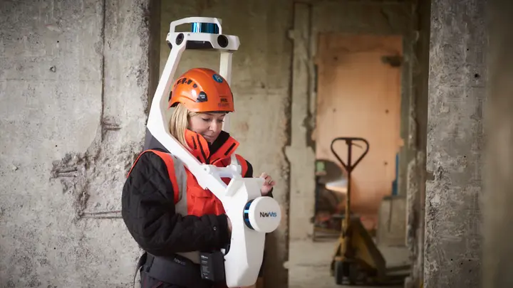
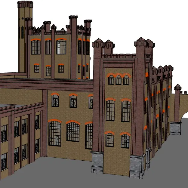
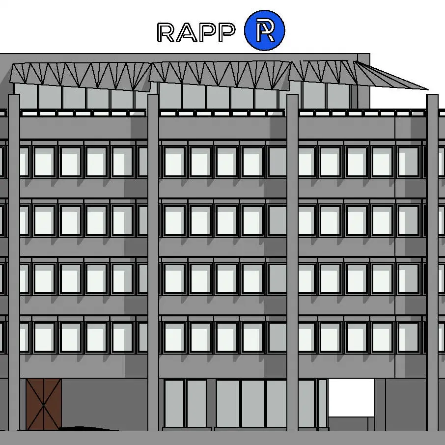
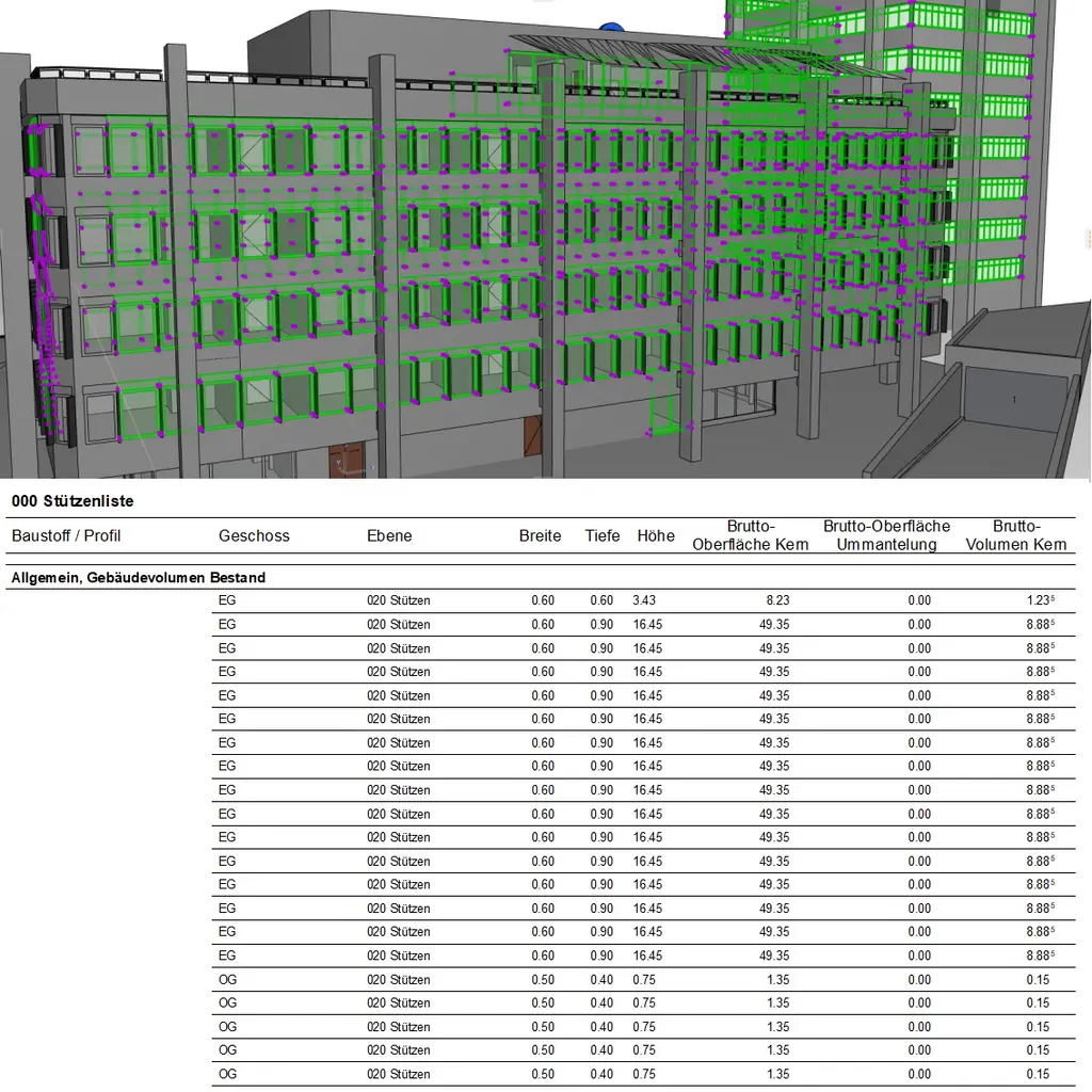
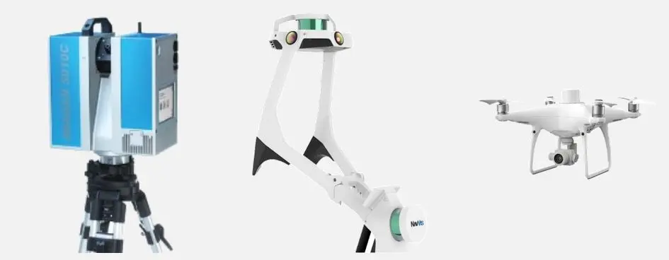
The field of application is virtually limitless. Everything is possible – from the mapping of structures and deformations, road and tunnel profiles to production plants and topographic surveying.
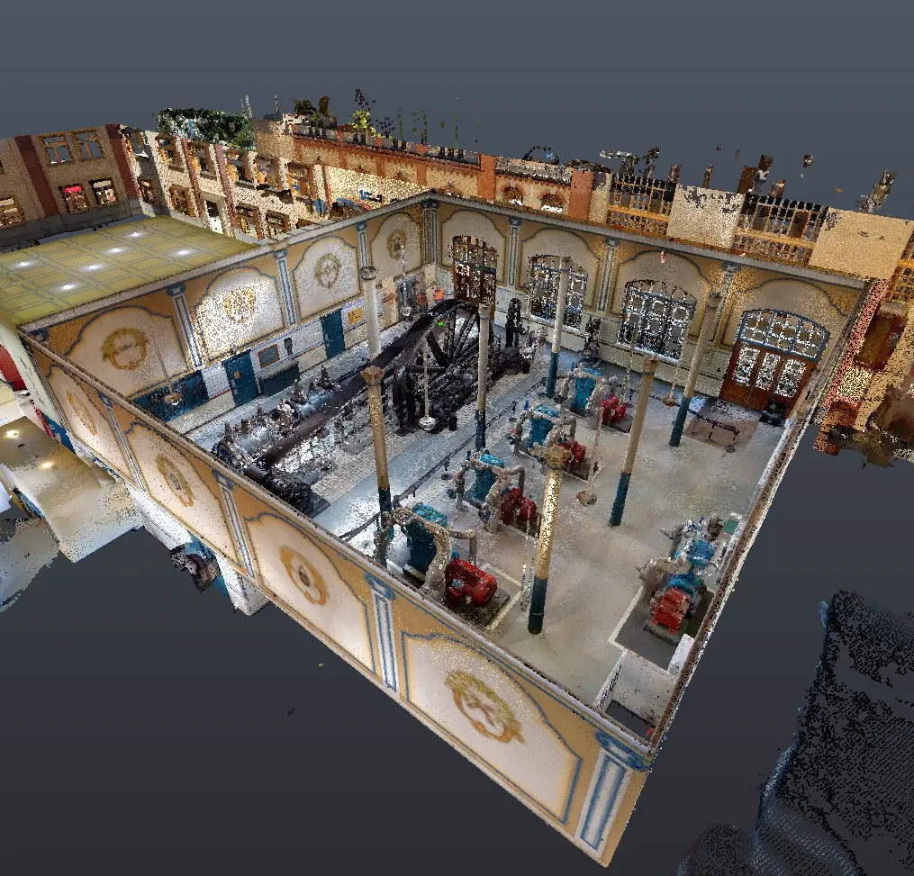
Object surfaces are scanned with maximum precision. Even raw data serves to maintain inventory and evidence and can be vectorised at any time if necessary.
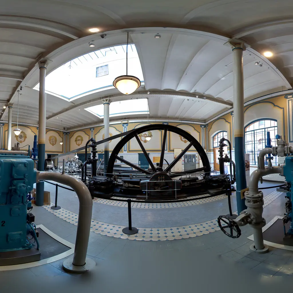
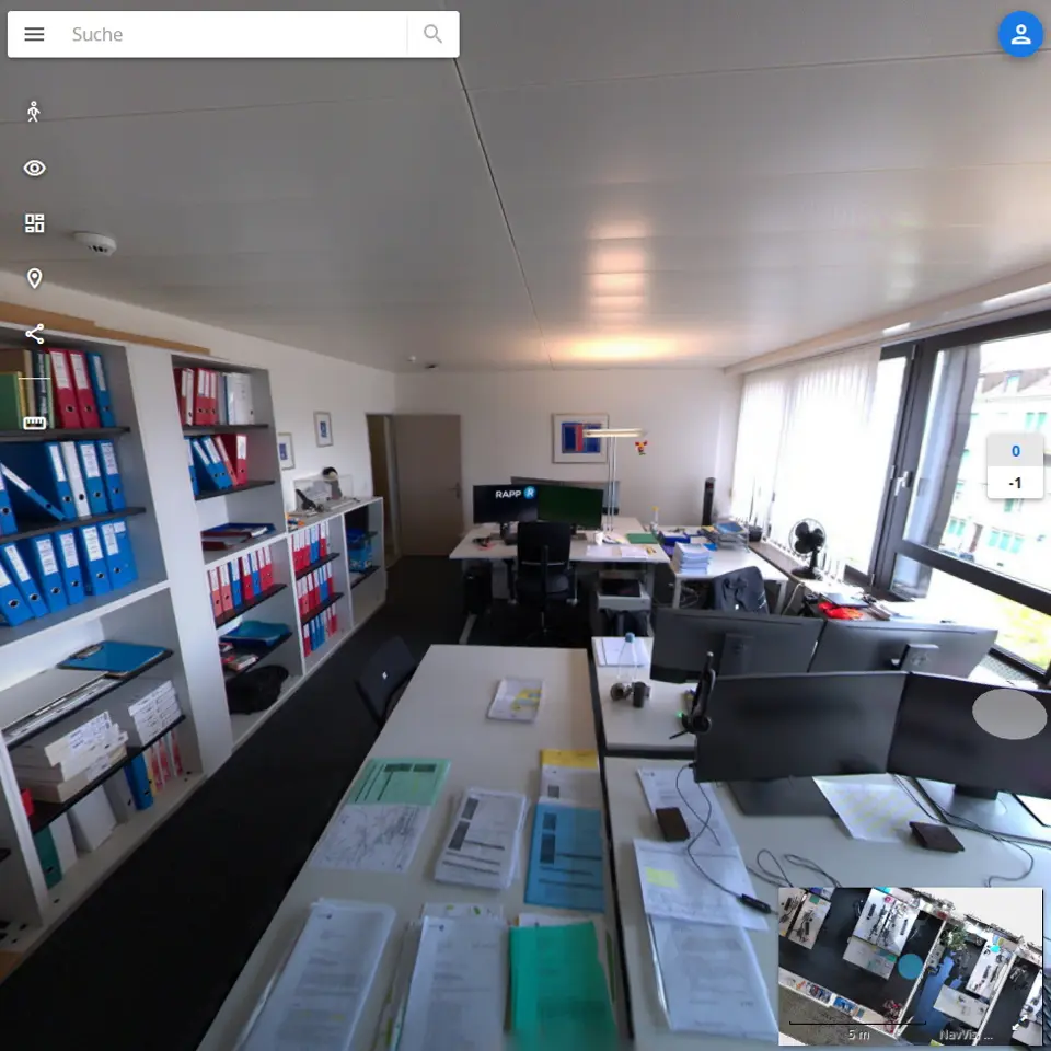
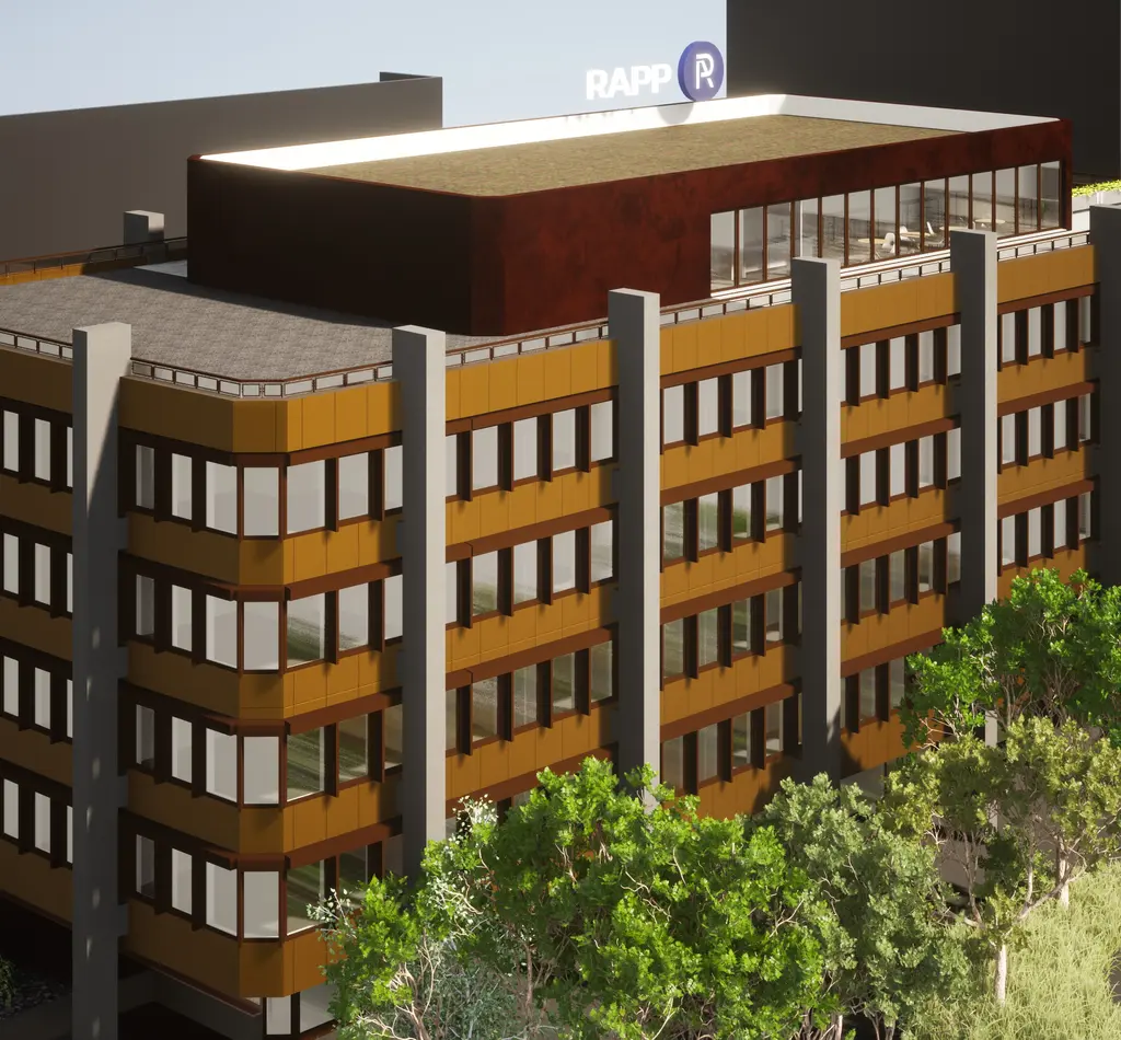
The point clouds can be used to create true-to-scale photorealistic views. Deformations can be shown through colour-coded representations according to deviation size.