Arealdokumentation

Site Documentation and Digital Twin

Data provides a reliable basis for decision-making. 

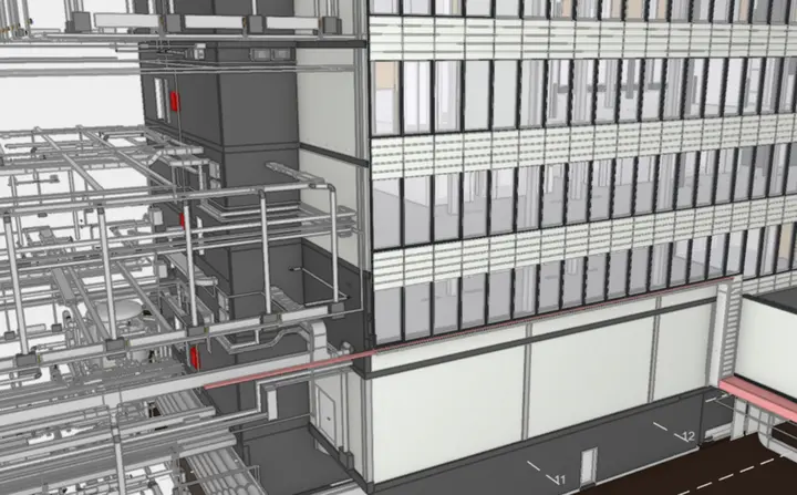
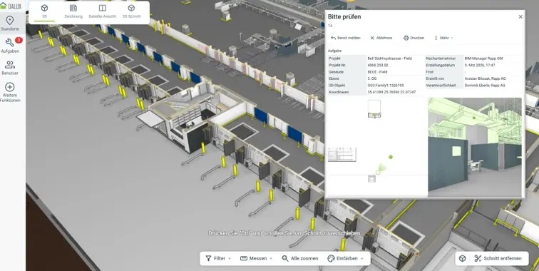
Up-to-date information on buildings, facilities, utility lines and infrastructure forms the basis for the safe, cost-effective operation of a site. Rapp brings together plans, geospatial data, BIM models, documents and operational information to form a reliable digital information base. This ensures that data remains usable beyond the planning and construction phases, for operation, maintenance and further development.  

The right documentation solution for your site

Each site has its own system environment, different data sets and specific operational requirements. That’s why Rapp does not offer rigid, off-the-shelf software, but rather a solution tailored to the client’s initial situation that can be developed further step by step.  

Together, we’ll decide which solution best meets your requirements. Existing data and systems will be integrated in a targeted manner and developed further step by step. 

MZK LIDS

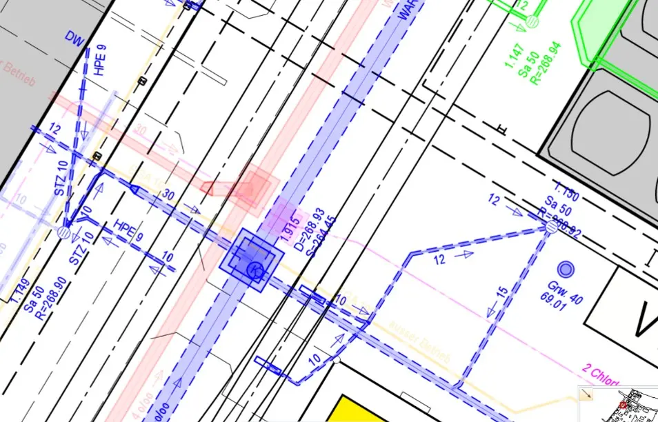
The tried-and-tested multi-purpose land register brings together information on buildings, infrastructure, utility networks, safety and operations in a clearly structured AutoCAD document.